If your transportation around the city is a bicycle, you could be eligible for a massive tax rebate this upcoming April.
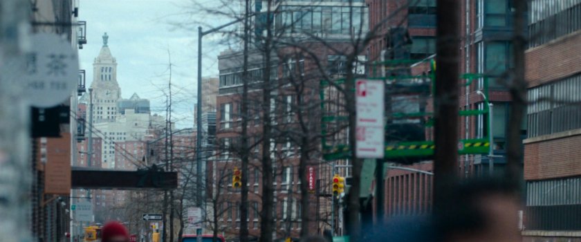
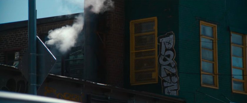
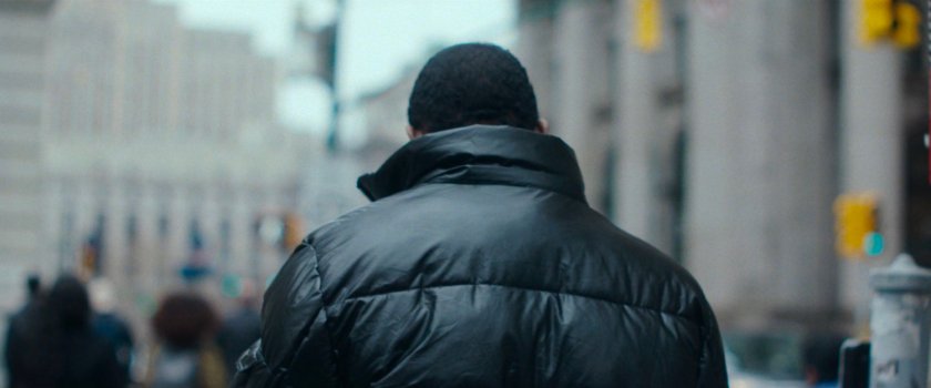
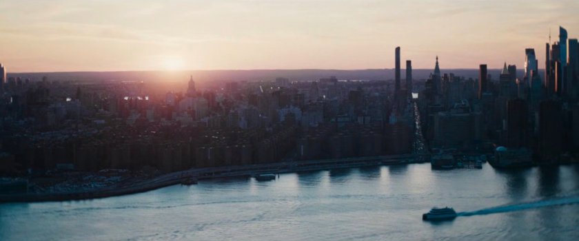
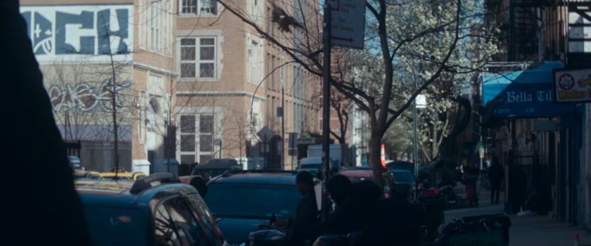
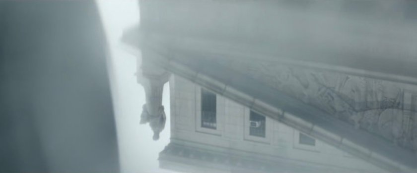
Daredevil: Born Again uses random establishing and interstitial shots of the city and its people to help build the idea that the city is also a character. This was previously used to great effect on Ms. Marvel. Please enjoy this collection of imagery from the city that never sleeps, and if you can help identify any locations, please write in to MCULocationScout@gmail.com.
Episode 1
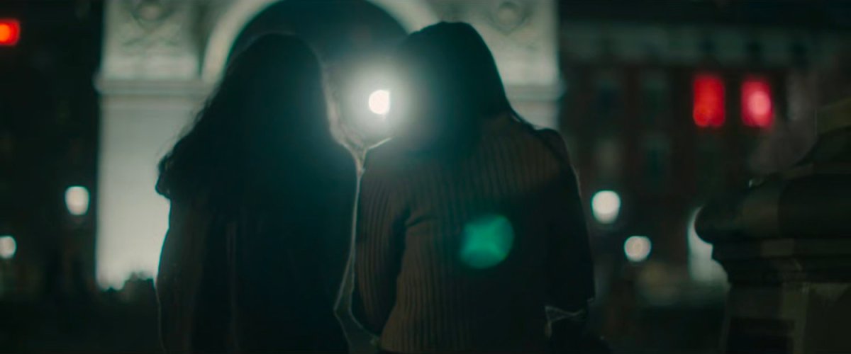
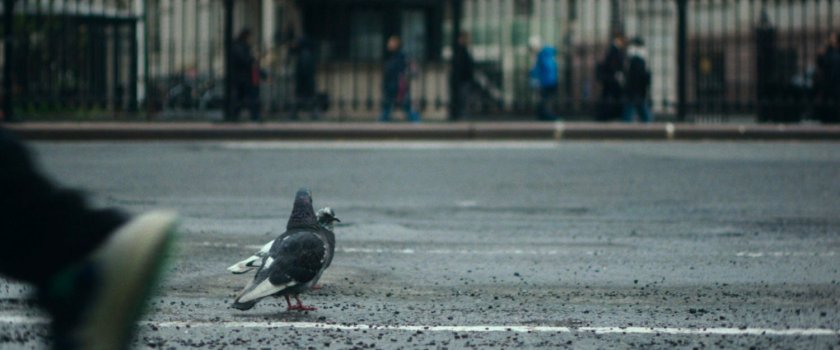
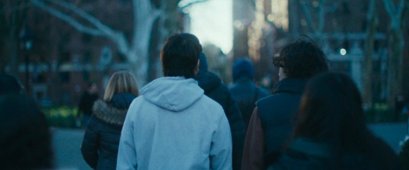
WASHINGTON SQUARE PARK – The series starts off easy with the couple silhouetted in front of the Arch at Washington Square Park, as seen from the fountain. Probably to lull me into a false sense of accomplishment for taking on the insane task of tracking random shots of a city (again)! Episode 5 features another shot from this location.
MAP
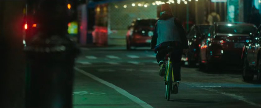
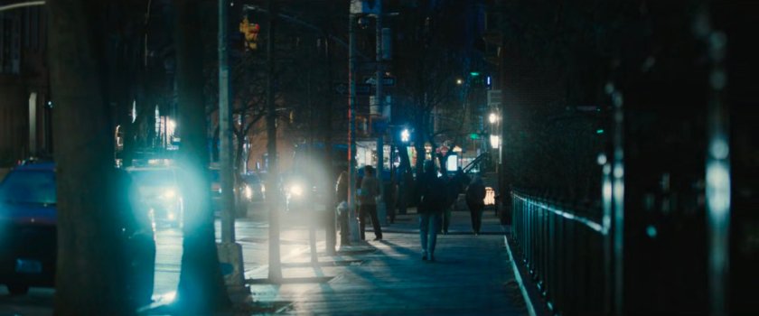
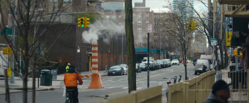
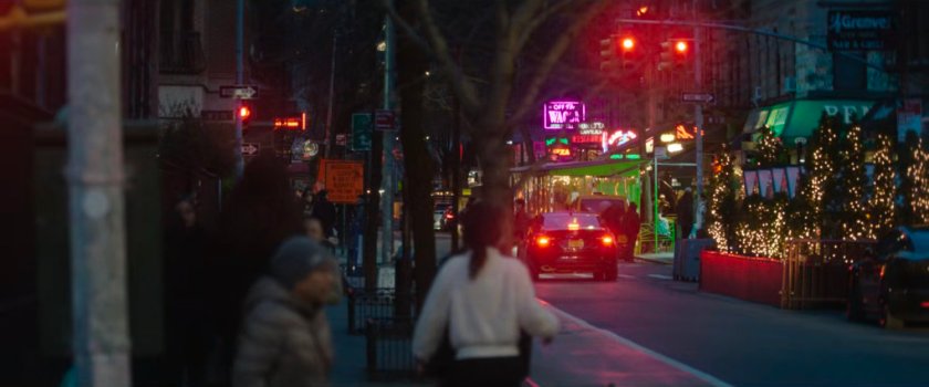
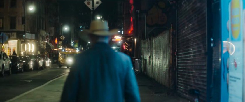
UNKNOWN – Man riding his bike down a street at night, presumably in Greenwich Village, but unconfirmed.
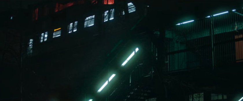
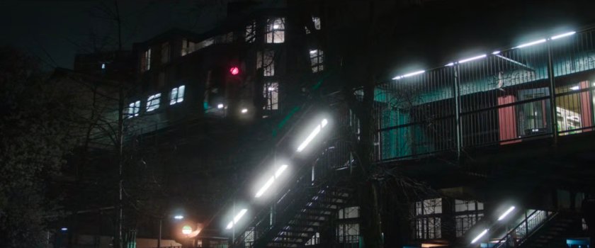
SOUTH WILLIAMSBURG – An elevated subway platform and stairs, at night. Episode 4 has a similar shot from the same location, while episode 7 has a shot from under the stairs of the platform. This is the Lorimer Street subway station looking through Lindsay Triangle from Throop Avenue.
MAP
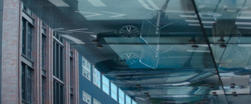
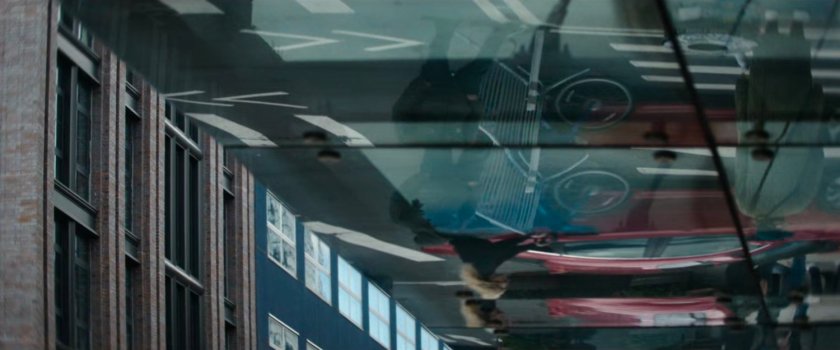
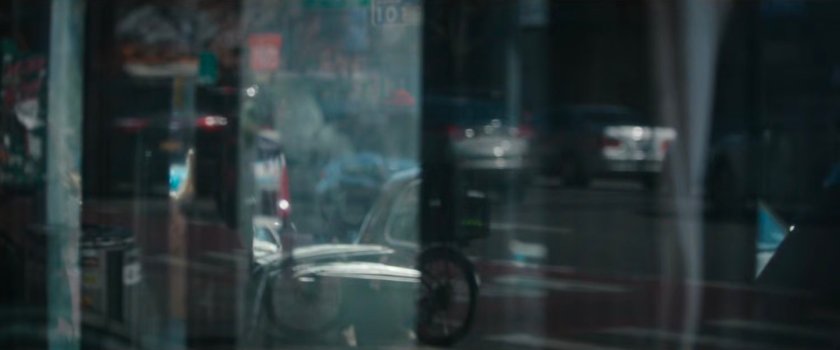
LOWER EAST SIDE – This reflected image is of Rice To Riches at 100 Rivington Street at Ludlow Street.
MAP
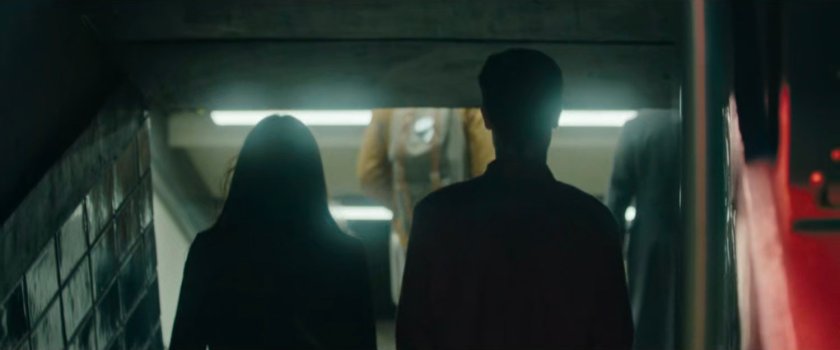
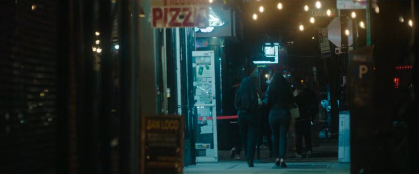
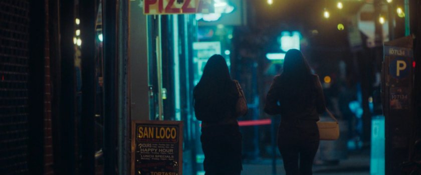
UNKNOWN – Two people are entering an underground subway station at night.
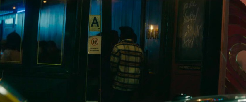
UNKNOWN – A man entering a bar at night.
GREENWICH VILLAGE – Looking south on Sullivan Street from Washington Square Park. The white sign is for Triona’s Sports Bar, and the tented street seating is from All’Antico Vinaio.
MAP
UNKNOWN – Come on, who am I kidding? There’s no way this is going to be found! A shot from the same sequence was included in episode 6.
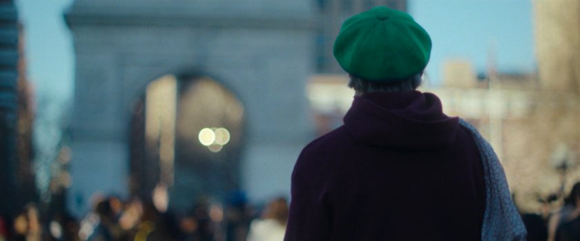
GREENWICH VILLAGE – This was filmed at the southern entrance to Washington Square Park, looking W/NW along Washington Square South. Episode 4 has a similar shot from the same location.
MAP
Episode 2
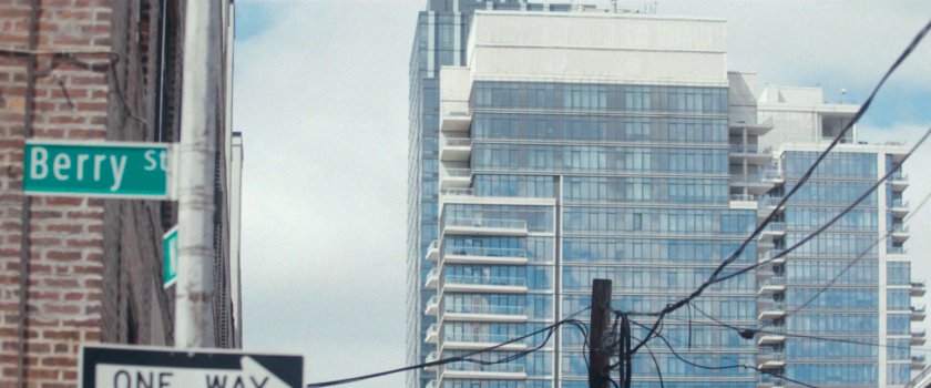
WILLIAMSBURG/GRAMERCY – Looking northwest on N 4th Street in Williamsburg, Brooklyn, at the Con Edison Clock Tower in Gramercy. This shot is INSANE! This appears to have been filmed at N 4th Street and Berry Street. The out-of-focus white circle sign in the upper left is for Möge Tee at 76B N 4th St. It’s a shot of 1.8 miles between two Boroughs! Episode 5 had a shot from the same sequence.
MAP
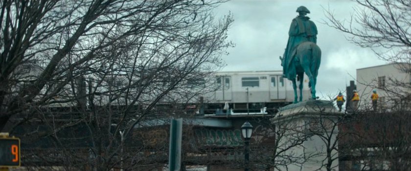
WILLIAMSBURG – Based on footage from subsequent episodes, including a shot in episode 7 taken from the Continental Army Plaza, this is the M Train near Broadway and Roebling Street in Williamsburg.
MAP
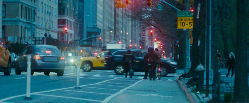
EAST VILLAGE – Looking from the southeast corner of E 10th St and Avenue C, along Avenue C towards E 9th Street. Always funny to see a hoe in the middle of the street.
MAP
EAST VILLAGE – Looking east on E 10th Street at Avenue C, from inside the fencing in front of 384 E 10th. In the September 2024 Google Street View, the vent pylon is still in the roadway. Episode 6 has another shot from this sequence.
MAP
LOWER EAST SIDE – Looking west on Stanton Street towards Ludlow. The pizza sign is for BD Pizza at 105 Stanton. Episode 6 has another shot from this sequence.
MAP
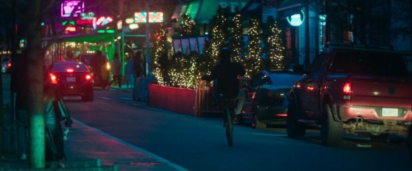
GREENWICH VILLAGE – Looking south on MacDougal Street from W 4th Street. The lights on the shrubbery on the right are from Groove, a bar, with the pink neon sign from Off The Wagon, another bar, further down the street. Episode 6 has another shot from this sequence.
MAP
GREENPOINT – Looking west towards Hunter’s Point from the fence behind Greenpoint Manufacturing and Design Center. This shot changes the tone of the episode as it focuses on the barbed wire fence before a transition to an aerial shot of the penitentiary. This is potentially a piece of stock footage.
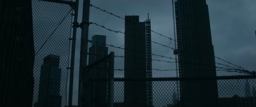
Street View – Fence and Barbed Wire
MAP
Episode 3
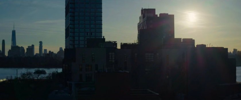
GREENPOINT – The West Wharf Greenpoint Apartments filmed from the rooftop of approximately 76 Franklin St in Greenpoint (looking west).
MAP
GREENPOINT – Graffiti on the side of a building. Not any building, but one next to the location of the safe house from episode 3. This is 211 Banker Street.
Street View
MAP
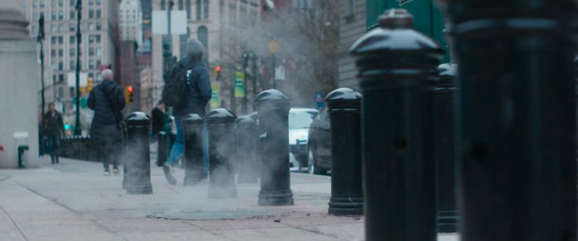
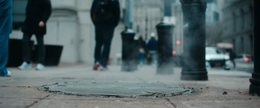
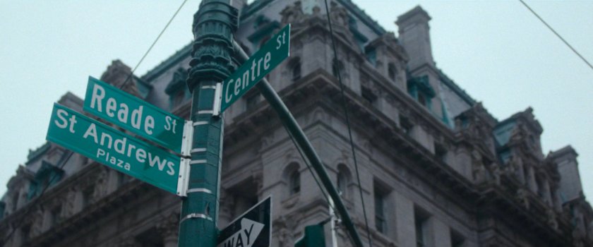
CIVIC CENTER – Looking south on Centre Street on the sidewalk near the intersection of Reade Street, just outside the Dinkins Manhattan Municipal Building. Look down in the street view below to see the steaming manhole cover. Episode 5 has a shot from here looking up at the signage.
Street View
MAP
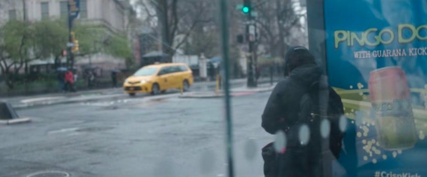
CIVIC CENTER – The bus stop (complete with Pingo Doce advert) is at Park Row at Spruce Street. The pedestrian is just behind the same bus stop, looking across Spruce Street, with the statue of Benjamin Franklin partially visible on the right side of the image. This bus stop has also featured in some of the BB Reports.
MAP
CIVIC CENTER – This man is on the west side of Centre Street, looking at the Dinkins Municipal Building. Episodes 5 and 6 feature shots from the same location.
Street View
MAP
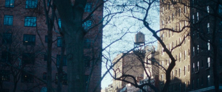
EAST VILLAGE – The sun is setting behind the ConEd Clock Tower, with E 23rd Street visible in the right third of the image.
MAP
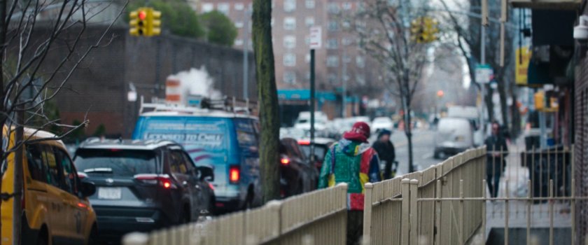
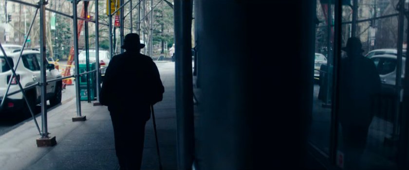
UNKNOWN – A person walks along a sidewalk under a construction scaffolding..
EAST VILLAGE – Looking east on E 11th St, from 1st Ave.
MAP
CIVIC CENTER – A reflection of one of the statues on the outside-top of the County Supreme Court.
Street View
MAP
Episode 4
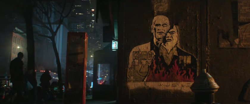
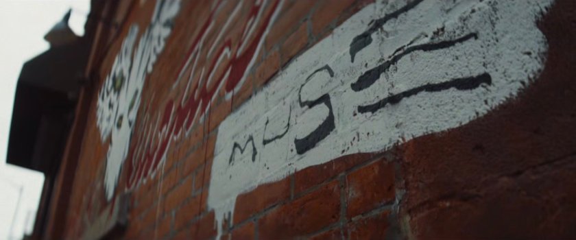
HELL’S KITCHEN – The Muse graffiti seen in episode 1, located at the corner of W 51st Street at 10th Avenue.
MAP
GREENPOINT – The Muse graffiti was previously seen in episode 3, located at 221 Banker Street in Brooklyn. Episode 6 uses a similar shot.
MAP
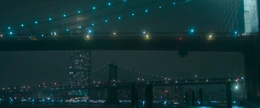
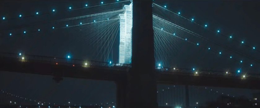
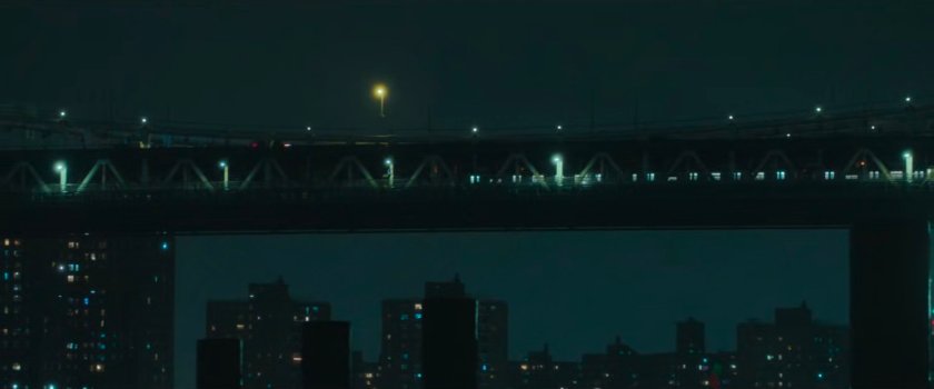
BROOKLYN BRIDGE – The Brooklyn Bridge with the Manhattan Bridge underneath it. Later, a shot is shown of the Brooklyn Bridge at night as seen from along the East River Greenway.
MAP
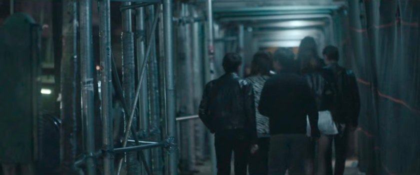
UNKNOWN – Pedestrians on sidewalk under construction scaffolding. There may not be enough in this single shot to pinpoint this location, but based on where other scenes are shot, it may still be found.
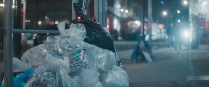
LOWER EAST SIDE – Garbage piles on the sidewalk by construction scaffolding. There may not be enough in this single shot to pinpoint this location, but based on where other scenes are shot, it may still be found.
MAP
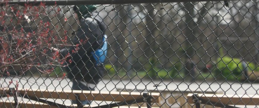
EAST VILLAGE – Chain link fence and bench at a park, which appears to be the Tompkins Square Park Skate Park.
MAP
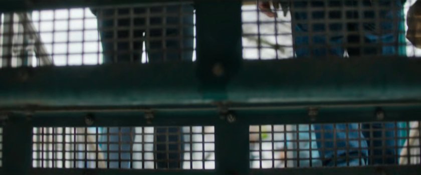
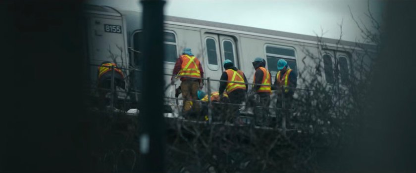
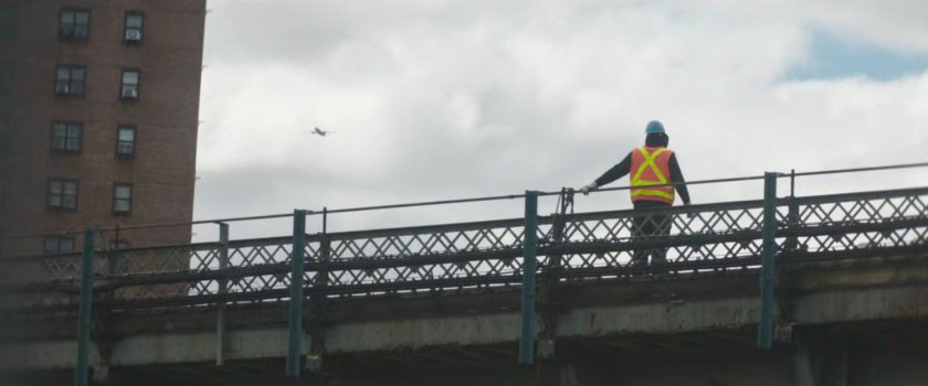
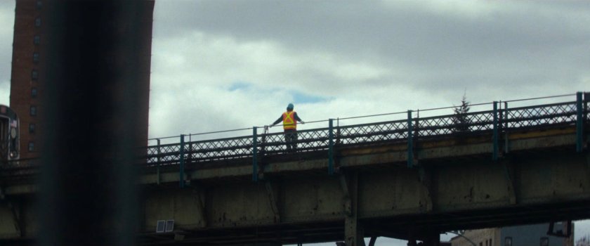
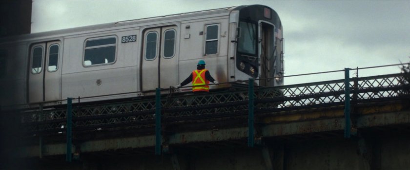
WILLIAMSBURG – Construction worker on elevated train overpass. This worker is standing on the track above the Williamsburg Bridge Plaza/Bay 3, looking south towards the building at 325 Roebling Street. Episode 6 features an extended version of this shot with the train passing by the worker.
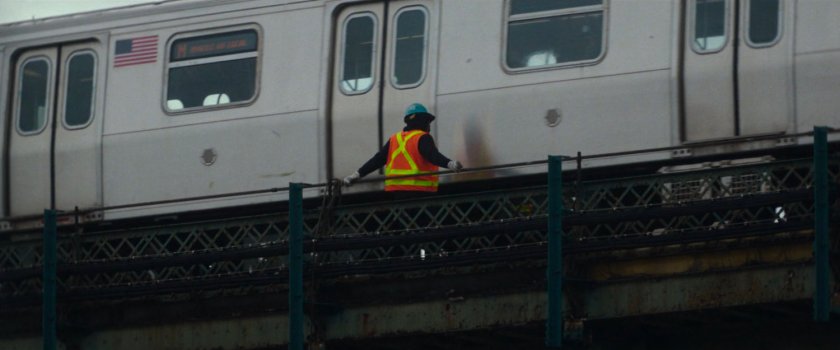
MAP
WILLIAMSBURG – This deep focus shot of pedestrians on the sidewalk and a stairway was filmed on Berry Street at N 4th St.
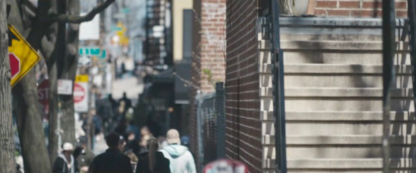
Street View
MAP
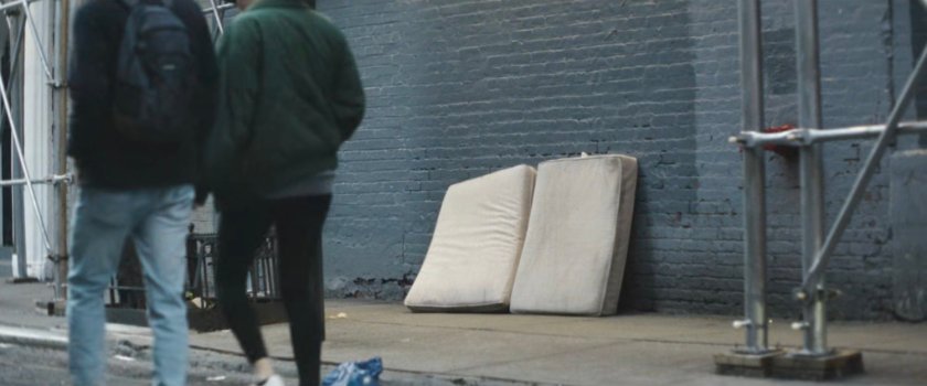
UNKNOWN – Pedestrians walking along street with mattresses on sidewalk by construction scaffolding. There may not be enough in this single shot to pinpoint this location, but based on where other scenes are shot it may still be found.
UNKNOWN – Deep focus shot of street.
EAST WILLIAMSBURG – The Muse graffiti outside the dance club/bar, as seen earlier in this episode, is located at 240 Meserole in Brooklyn. Episode 6 also uses a shot from this sequence.
MAP
MANHATTAN BRIDGE – A train crosses the Manhattan Bridge as seen from, presumably, western DUMBO.
MAP
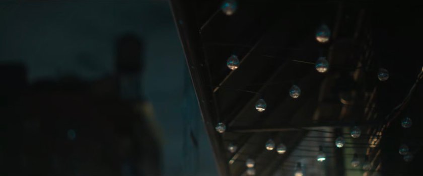
UNKNOWN – Underside of building awning with lightbulbs.
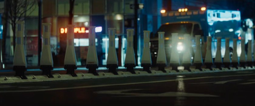
UNKNOWN – Plastic pylons in the street with buildings and an ambulance in the background.
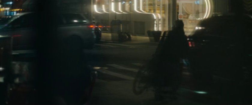
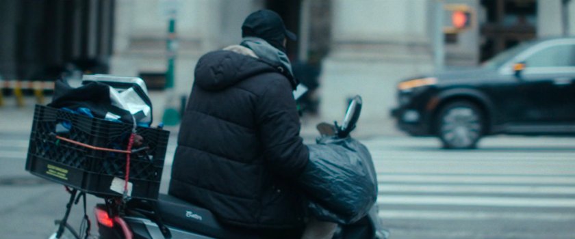
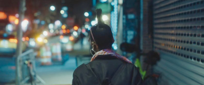
UNKNOWN – A delivery driver on a moped on a dark street.
UNKNOWN – A couple crossing a street with graffiti in the background. There may not be enough in this single shot to pinpoint this location, but based on where other scenes are shot, it may still be found.

UNKNOWN – A woman walking sidewalk towards some construction at night.
Episode 5
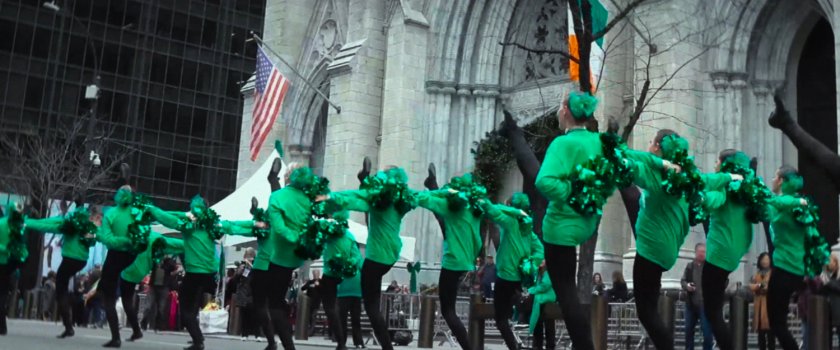
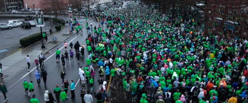
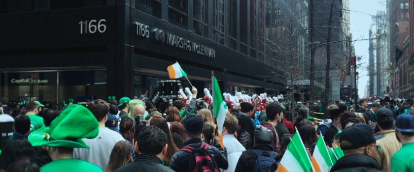
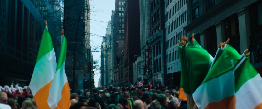
MIDTOWN EAST – Stock footage of a Saint Patrick’s Day parade group of dancers in front of St Patrick’s Cathedral.
MAP
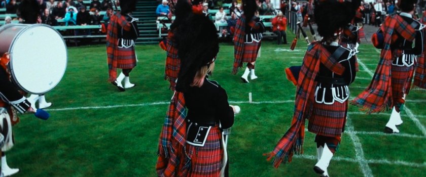
UNKNOWN – Stock footage of a Saint Patrick’s Day parade bagpipe marching band.
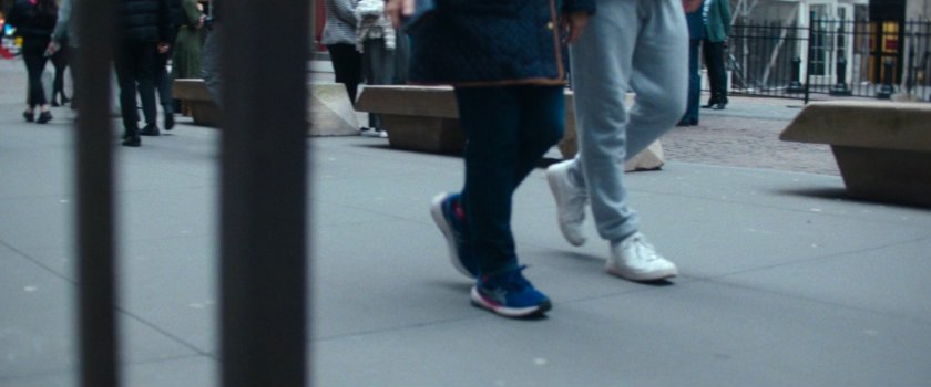
FINANCIAL DISTRICT – The feet are walking along Broad Street near the corner of Wall Street as seen from the sidewalk. The woman is walking south on Broad Street towards Exchange Place, from approximately the same place.
MAP
UNKNOWN – Stock footage of a Saint Patrick’s Day parade.
DOWNTOWN BROOKLYN – The first shot is looking west up Montague Street from Borough Hall Station. The second shot, from episode 7, is looking south towards the spire of Saint Paul’s Roman Catholic Church.
MAP
GREENWICH VILLAGE – A trio sitting at the fountain in Washington Square Park, when the fountain is emptied.
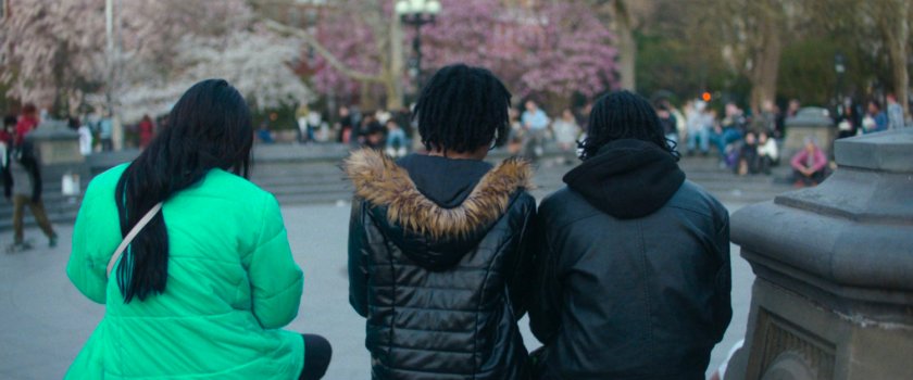
MAP
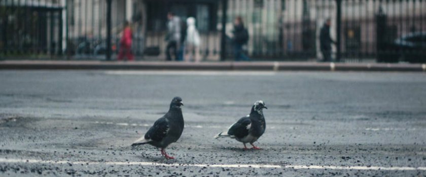
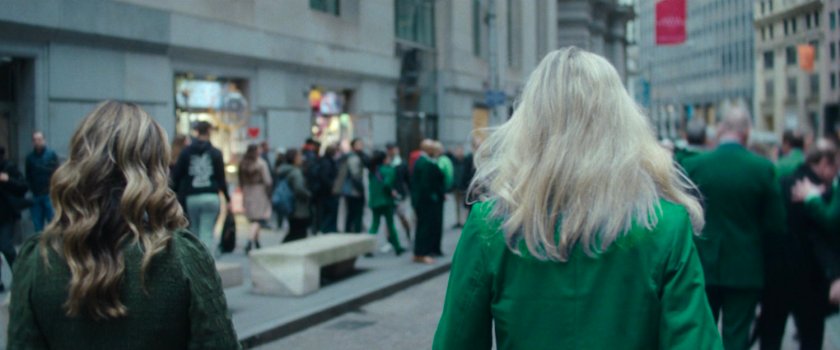
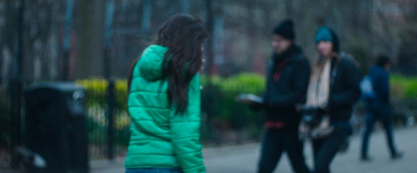
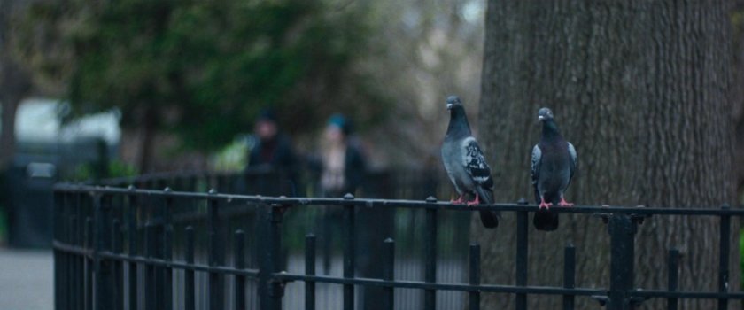
EAST VILLAGE – A woman with a green jacket (not the same one from the image above) walking through, and pigeons on a fence in Tompkins Square Park.
MAP
FINANCIAL DISTRICT – The Brooklyn Bridge/City Hall Station looking NW towards Civic Center.
MAP
CIVIC CENTER – Food trucks, which could be at almost any location where the show filmed at. These appear to be the ones off Centre Street, outside City Hall.

MAP
MIDTOWN – Stock footage of a Saint Patrick’s Day celebration at 6th Ave and W 46th Street.
MAP
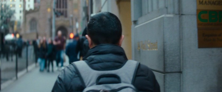
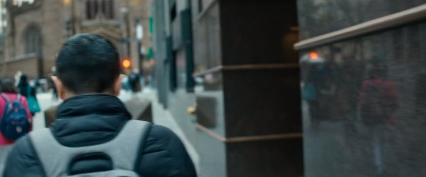
FINANCIAL DISTRICT – A man walking along the sidewalk outside 14 Wall Street. Episode 7 had a shot from the same sequence.
MAP
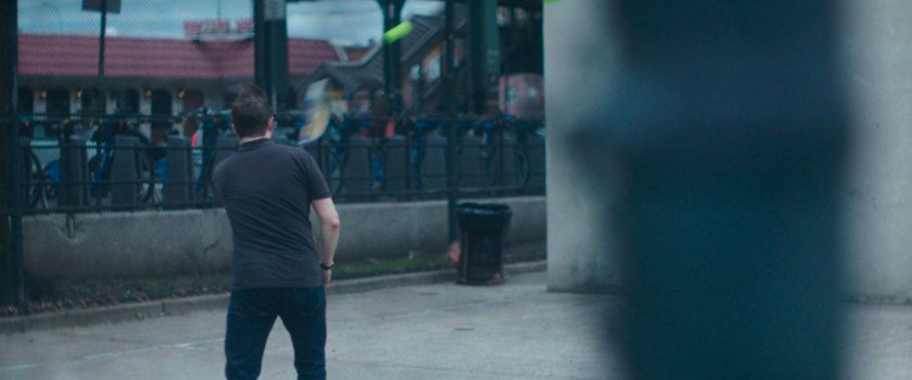
DITMARS STEINWAY – A man playing pickleball in the courts at Hoyt Playground in Queens.
MAP
UNKNOWN – This building, with a reflection of the street and cars from an awning, was also seen in The BB Report 4 from episode 2, and an Interstital in episode 7.
WILIAMSBURG – Pedestrians walking south along N 4th Street from Berry Street.
Street View
MAP
GREENWICH VILLAGE – People walking west through Washington Square Park towards W Washington Place.
MAP
UPPER WEST SIDE – Looking north on Central Park West at W 86th Street.
MAP
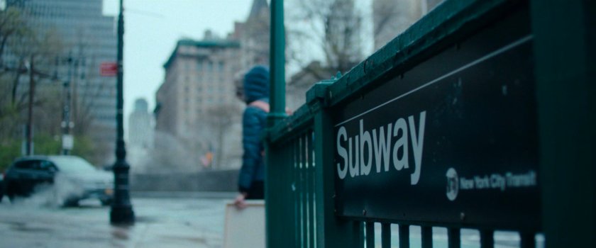
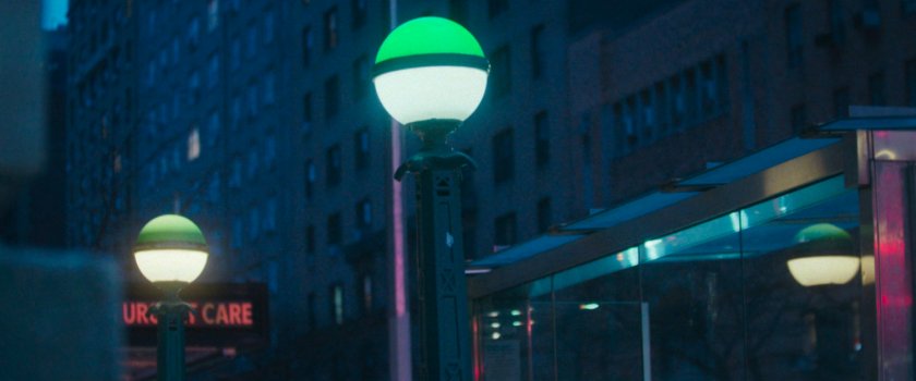
UNKNOWN – Subway entrance near an Urgent Care center.
GREENWICH VILLAGE – This is looking west on W Washington Place from Washington Square Park. These buildings are the same as those from The BB Report 1, in episode 1.
MAP
WILLIAMSBURG – Looking north on N 4th Street at Berry Street in Brooklyn.
MAP
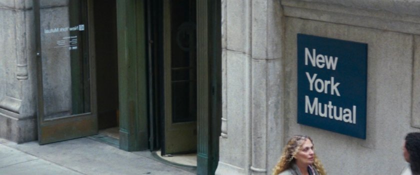
FINANCIAL DISTRICT – The exterior of New York Mutual Bank on Hanover Street.
MAP
Episode 6
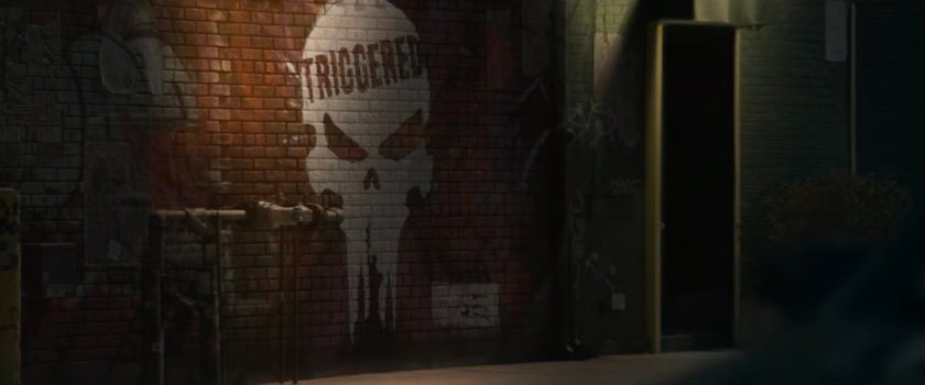
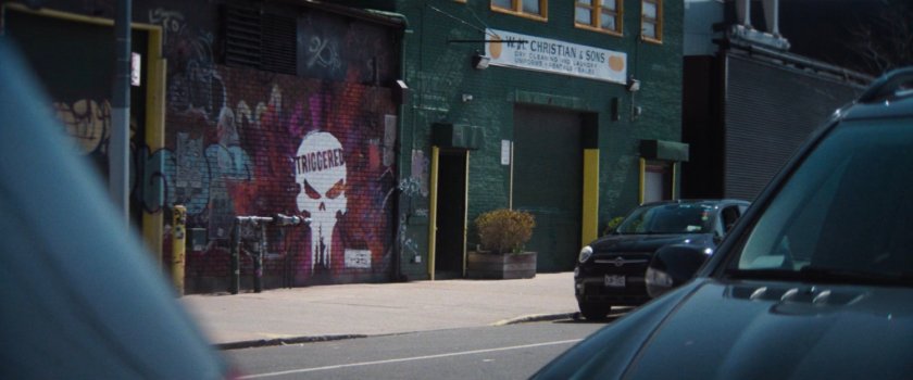
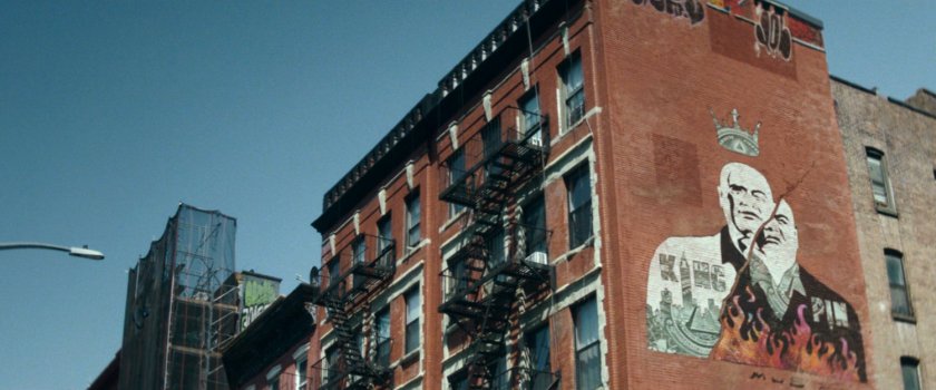
UNKNOWN – An alternate version of the Kingpin graffiti on the side of a building.
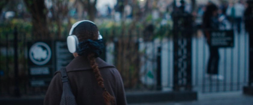
EAST VILLAGE – A woman with headphones outside the E 7th Street entrance to Tompkins Square Park.
MAP
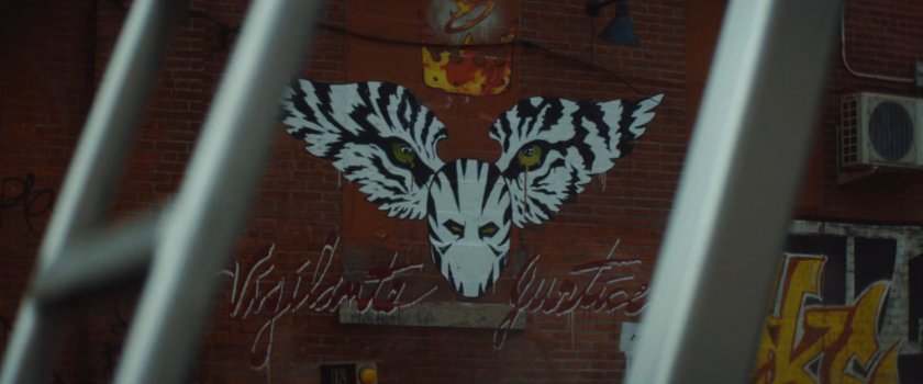
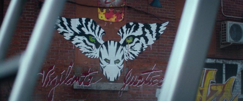
TWO BRIDGES – An ‘Upward MOBility’ mural from Muse located on the west side of the Manhattan Bridge at Cherry Street.
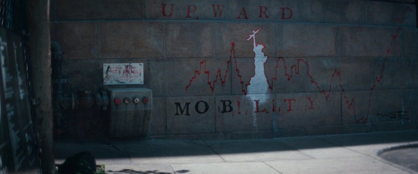
Street View
MAP
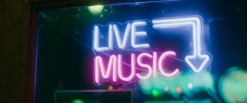
UNKNOWN – A neon sign for Live Music presumably in the Greenwich Village area.
GREENWICH VILLAGE – Pedestrians on a sidewalk outside Washington Square Park at night, walking west along Washington Square S.
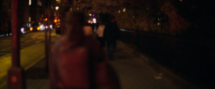
MAP
LINCOLN SQUARE – A shot of the 66 St/Lincoln Center subway entrance at W 66th and Broadway.
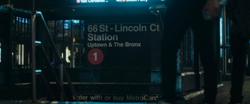
MAP
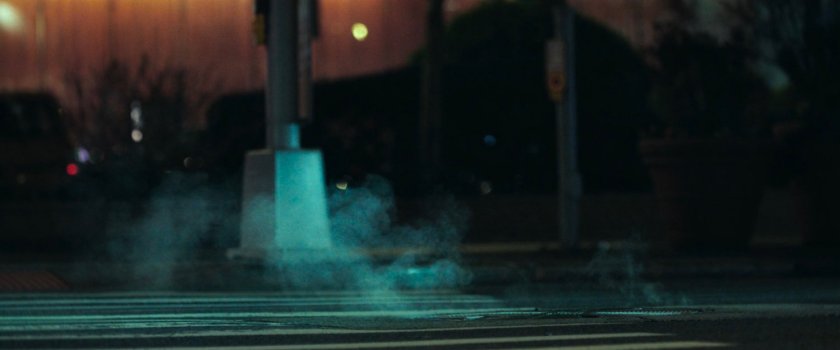
UNKNOWN – Dark street corner with steam rising from a manhole.
Episode 7
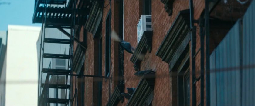
UNKNOWN – Pigeons on the side of a building.
GREENWICH VILLAGE – This couple is walking south on MacDougal Street from Washington Square South.
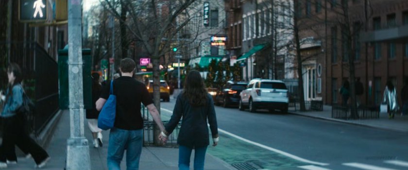
MAP
FINANCIAL DISTRICT – This is a building on Broadway at Rector Street. An image from this sequence was seen in The BB Report from episode 2.
MAP
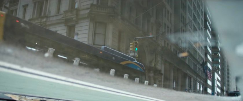
UNKNOWN – Street reflected in storefront window.
LOWER EAST SIDE – This deep focus shot looking through traffic at pedestrians is of 164 Orchard St from Stanton Street. The third image is a composite without the interference of the car.
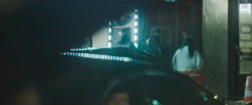
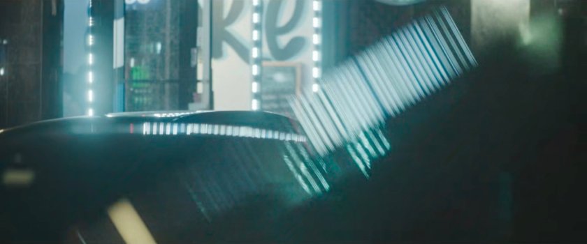
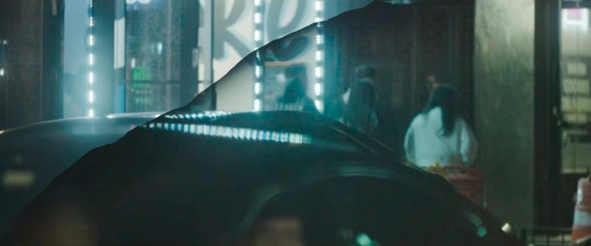
Street View
MAP
LOWER EAST SIDE – This man is walking east on Rivington just past the corner of Orchard Street.
MAP
(Daredevil: Born Again S01E01-E07, 2025)
